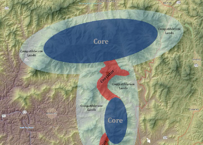
NatureScape Process
Key steps in developing this collaborative conservation design and applying it to inform decision making.
 Developing Naturescape
- Work with LCC partnership to identify priority resources/ecosystems as essential to preserve into the future.
- Choose method or tool (Marxan software) to identify optimal areas to preserve in order to achieve biodiversity goals.
- Tease out representative species within each priority resource to inform modeling and provide evaluation metric.
- Model major landscape level threats, such as energy development, urbanization, and climate change.
- Generate optimal conservation areas to prioritize and preserve – most realistic options based on inputs from threats, change over time, and financial cost.
Applying NatureScape to Inform Decision Making
- Broadly and strategically communicate the utility of regional conservation planning and designto the many stakeholders in the region.
- Select subgeographies from LCC-wide plan to focus conservation outreach and efforts, building a support base and better elements for next iteration of the NatureScape.
- Articulate use-cases, success stories, and interpretive materials for organizations interested in using NatureScape.
- Fund multi-scaled spatial analyses and data creation to fill data gaps and better represent the complexity across the geography.
- Align NatureScape with other ‘big thinkers’ such as NGOs and other LCCs to extend its utility.
- Reiterate vision of conservation across the region. Local planning remains extremely important, but the LCC should provide utility beyond the local level and inform those efforts with a broader context where possible.
- Expand technical team expertise to include emerging science and data products.


