Return to Wildland Fire
Return to Northern Bobwhite site
Return to Working Lands for Wildlife site
Return to SE Firemap
Return to the Landscape Partnership Literature Gateway Website
return
return to main site

Skip to content. | Skip to navigation

Sections

Personal tools

You are here: Home / Landscapes & Wildlife

WLFW Landscapes and Wildlife

In 2021-2022, a multi-state, areawide planning team produced the first biome-scale frameworks for wildlife conservation in the Great Plains grasslands, western sagebrush country, and for the Central and Eastern grasslands and savannas within 25 states in the northern bobwhite range. These frameworks for conservation action capture the science documenting the threats to biomes and the wildlife that are part of them, the conservation actions that NRCS can support to address these threats and benefit producers, and the NRCS goals for implementing these actions over time.


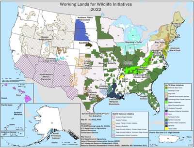
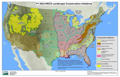
Maps indicate the geographic extent of each of the national and state-run conservation efforts. Click each map to expand it. Use your browser's back arrow to return to this page.

Working Lands for Wildlife Initiatives 2022
Map of FY 2023 NRCS Landscape Conservation Initiatives


Working Lands for Wildlife (WLFW) was initiated in 2012 and there are eight nationally-identified target species. In 2016 a Request for Proposals was circulated to the NRCS State Offices whereby they could work with local partners to identify additional species for state-run WLFW 2.0 partnership efforts. In response to this RFP, 12 additional species and habitat efforts were approved to launch in 2017, and another 4 in 2018.

This portal will initially service the eastern, south and mid-western target species (9). The habitat needs of these species are representative of healthy, functioning ecosystems where conservation efforts benefit a much broader suite of species. 

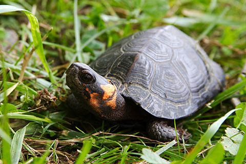
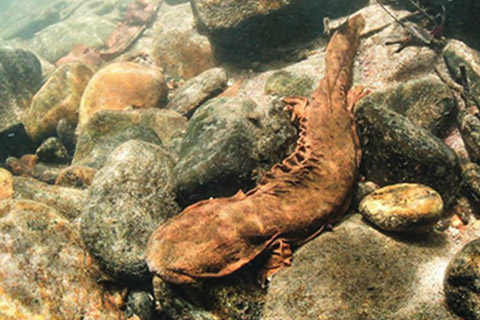
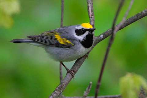
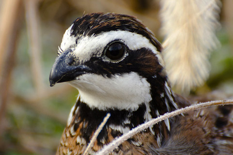
Visit Our WLFW Wildlife

Select an image below to learn more...

Landscape Partnership